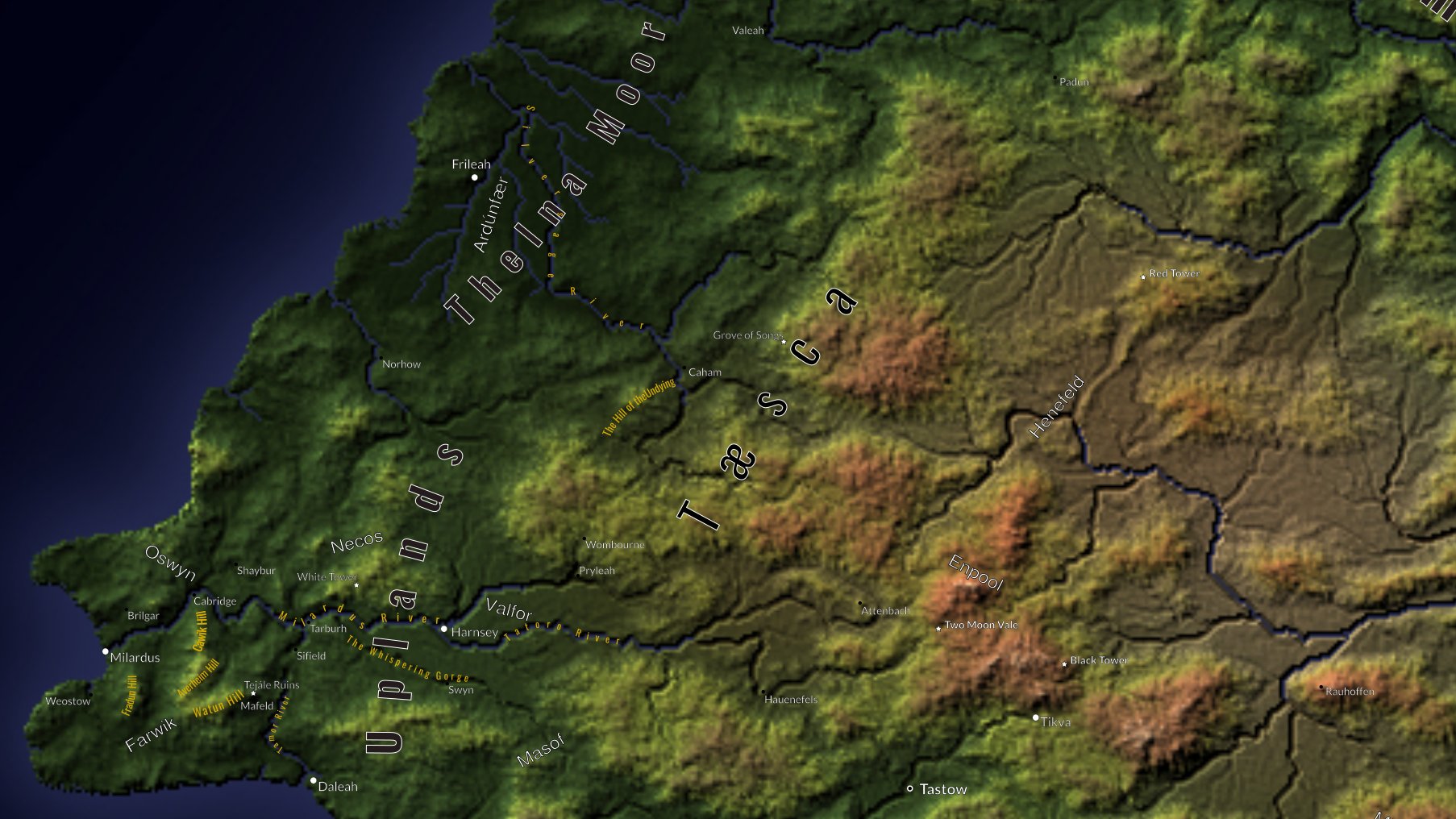
As I mentioned in yesterday’s post, I love making maps. I make a lot of them. Some are continental-sized, some regional, city or town-sized, and others as small as individual houses or even rooms. While this won’t be a tutorial (although I will provide links to some of the tutorials I learnt from), I will detail some of the many tools and techniques I use when creating my maps.
Table of Contents
Making Maps: Continents
My secondary world is old. I originally crafted it in the mid-80s, then modified it for a role-playing game I wrote in the early 90s. Most of the histories, fables and some of the characters from the Fourth and Fifth Ages stem from that game. All the maps from that era were hand-drawn (very much in the style of Tolkien’s Middle-Earth maps). I still have them somewhere, but not immediately at hand. I didn’t consider that when I was making maps for that game, that I’d still be using them nearly forty years later.
Since then, I’ve created digitised versions of the world. They’ve been through many incarnations. In fact, in my opinion, they’ve never ever been finished. I like fiddling with them, and there’s always a new way to present the map. That’s why I like making maps.
I am a member of the Cartographer’s Guild. I have been for more than a decade, and even before I created an account there, I lurked there. One of the tutorials I found there was by Arsheesh, who used it to make his world of Eriond. This tutorial is for GIMP. There’s also one for Photoshop IIRC. I’ve used many of these techniques for most of my continent-sized maps ever since. The only issue is that it requires Wilbur, which requires at least Windows 10. It might also work under WINE on Linux, I haven’t dared to try it yet. It’s why I still keep a windows machine, despite my daily drive being Linux.
Making Maps: Regions, Cities and Towns
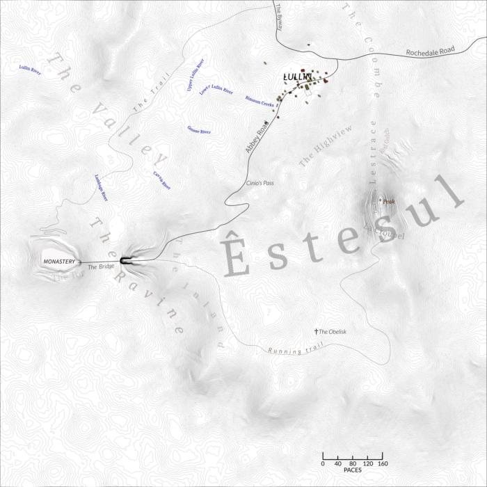
Another piece of Windows-only software I use is Large 3D Terrain Generator (or L3DT). Initially, I only used it for creating some of my regional maps, then found it just as suitable for making the terrain for city and town maps as well.
Or I used to. I had to renew my licence (for free) every six months or so, and the web site seems to be down (and the SSL certificate has expired).
In any case, one of the great things about L3DT is that it allows you to create quite massive maps (hundreds of kilometres square, as well as quite small ones (a few hundred metres). It also provides a choice of outputs. Making maps in this way ensures it’s easy to customise them with Inkscape.
Sometimes, when I’m writing, I just need some basic details about a place to inspire my creativity. For this, I use a lot of online resources. The Procgen Arcana series of tools are usually sufficient for most needs. Sometimes, I’ll have different requirements and I’ll use other tools like the Fantasy Town Generator or even the Random Inn Generator.
Maps as Writing Aids
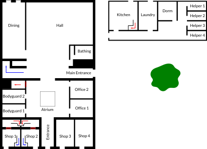
However, I have been know to take making maps to extremes in some cases. For the first novel I completed (as yet unpublished), I created a 3D rendering of the landscape in Unity. I walked (and flew) around trying to get an idea what the characters could see. I also created a full-scale version of The Monastery, where most of the novel is set, in Minecraft: Bedrock Edition. It included all the secret doors, tunnels, and spyholes. If only I could have married the Minecraft and Unity maps together.
Of course, my readers will never see most of the maps I mentioned above. They’re only used as writing aids, but they all help me enormously. I need the maps to help get a sense of the places where my scenes are set. It gives me an insight into what the characters see and feel.


